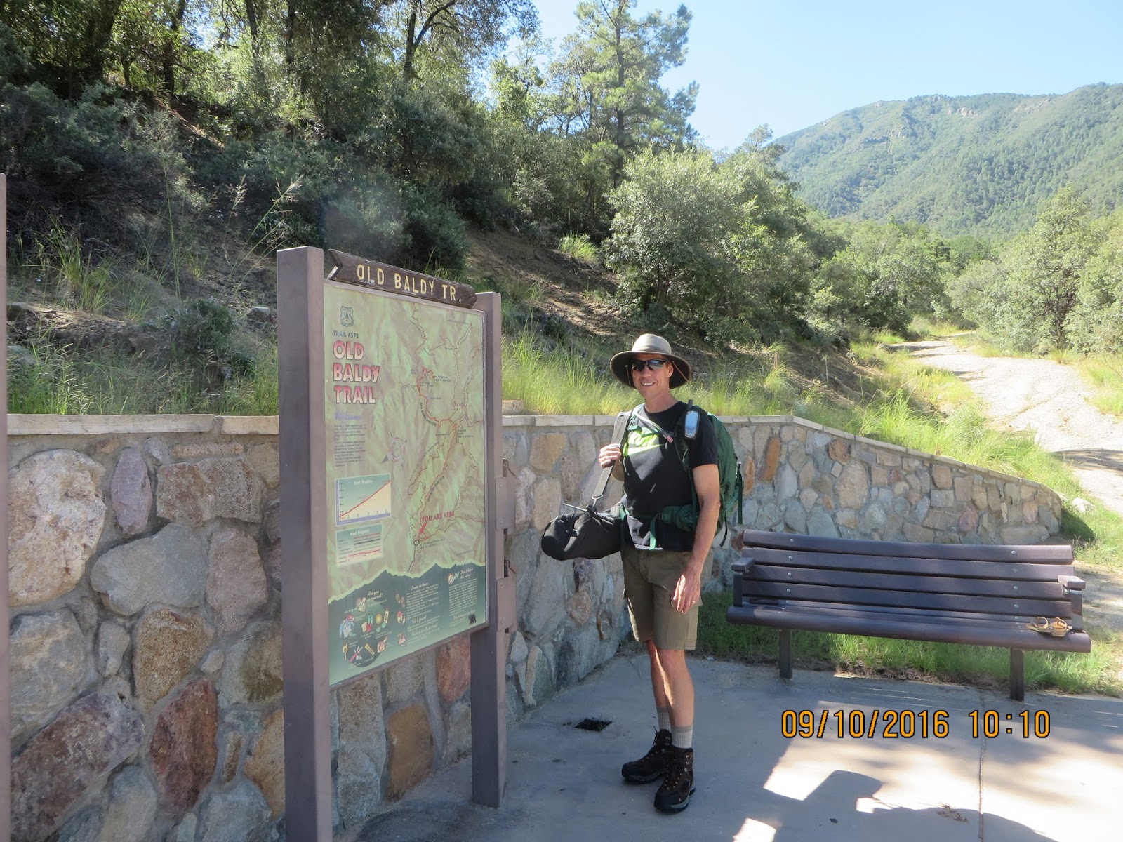
My goal was to reach the summit of Mt. Wrightson, which is designated W7A/AE-014 in the SOTA maps database. This requires a fairly strenuous hike but that was what I wanted - and I got it. I knew it would be a long day so I packed 70 oz. of water, 2 bottles of gatorade, and food. In addition, my pack had to carry my radio gear, emergency kit, and miscellaneous important stuff like toilet paper. My wife looked at it and asked, "are you moving out?" The pack was heavy - I weighed it after loading it up, and it came in at...over 26 pounds! That's heavy, but it didn't include the antenna - which added another 14 pounds. That 40+ pounds of weight is a lot, but I figured it would be manageable.

Much of the trail was shaded, which was a good thing because I didn't begin the hike until after 10 am, and the temperature was in the 80's. The scenery was beautiful and recent summer rains had created plenty of green. The hiking was slow, due to elevation, steep trail, and excess pack weight, but I was really enjoying the quiet and fresh air. I had my APRS beacon going out on my HT, but I don't think my signal made it out too many times. My friend Quinton was watching online for my beacon, and did see me a few times. In some places, the trail opened up to nice vistas looking out towards Tucson, and these were the best spots for APRS to get out.

I reached Josephine Saddle in a little under 3 hours. At this point, there was almost a mile to go to the summit. The views from the saddle were spectacular and I was excited to be getting close. I was carrying my Buddipole in the sling bag and I was looking forward to giving my shoulders a break! At this point in the hike, my shirt was drenched with sweat.

The final push to the summit started with a pretty meadow on the saddle, although the effects of a forest fire were evident.

Near the very top, the trail became very rocky and narrow, maybe even a bit dangerous.

The remains of an old fire lookout building are at the summit, but there were a few people already there, so I set up my antenna and equipment next to it. I was tired after about 3.5 hours of hiking, and the elevation of about 9,500 feet made for thin air, but was looking forward to making some QSO's. I set up the Buddipole for 10 meters (including hanging my new SOTA flag!), and called Quinton on the OVARC DStar repeater to let him know I was ready to go. He was first in my log with a quick 10m CW contact. I worked a few more stations on 10m, including WA7JTM Pete who was activating a summit in Yavapai County - that was a surprise, as the distance between us is normally too close for sky wave and too far for ground wave propagation.

I then switched over to 20m and began working the pileup. I was struggling with the code for some reason. Many mistakes were made and it seemed like I was having difficulty with the paddle making the correct number of dits in certain characters (i.e. "4" and "H"). It felt like the paddle was loose but I wasn't able to get it tightened; but really I think my problems were because (a) I was tired from the hiking, (b) I was experiencing some muscle trembles in my hand after carrying the antenna bag, which required me to hold it awkwardly to prevent slipping, and (c) I'm not the best code op anyway. Nevertheless, I had great fun and worked 25 QSO's total.

At about 4:00 local time I realized that sundown was going to occur before I got down unless I left soon. I was sad to pack up but really wasn't planning to hike in the dark, so I quickly took the antenna down, loaded everything up and began the trek down the mountain. On the way down, I was caught in a refreshing rainfall for about 30 minutes or so. The downhill allowed me to go much faster, and I reached the canyon parking lot after about 1 hour 45 minutes.
This was really such a fun day. There are two other peaks close to Wrightson - Josephine Peak will require a similar hike, while Mt. Hopkins can involve a hike but it's also possible to drive much closer. I could easily see them both during my hike, and I'm hoping to activate both eventually. According to the SOTA Mapping Project page, both summits are worth 10 points due to their peak elevation. I really like the mapping page, and after this hike I uploaded my Garmin's .gpx track file for the climb up to help other users of their database.
