Two years later, I was fully immersed in the addiction of ham radio and summit hikes. I had activated enough to reach "Mountain Goat" status, which requires attaining 1,000 points using the SOTA scoring system. I wanted to return to Heliograph Peak, which is worth 10 points, to cross that 1,000 point mark and earn my MG, so on July 6, 2018, I headed towards the Pinaleno Mountains for some fun.
I first hiked to, and activated, W7A/AE-010 Webb Peak, which is just a bit further down the road from Heliograph and makes for a nice double-activation option. It was a nice cool day and there were a few light rain showers but nothing to prevent a good activation.
There are at least two main routes up to the summit of Heliograph. The longer option is actually the easier way, because it involves hiking up a dirt road for about 2.3 miles with a bit under 1,000 feet elevation gain. The shorter option is to hike up a trail for about 2 miles, which is steeper with roughly 1,100 feet of gain. I've posted tracks for both to the SOTA Mapping Projects Tracks page. I think the trail option is more scenic but they both are pretty good and you can combine them since the starting point is nearly the same either way.

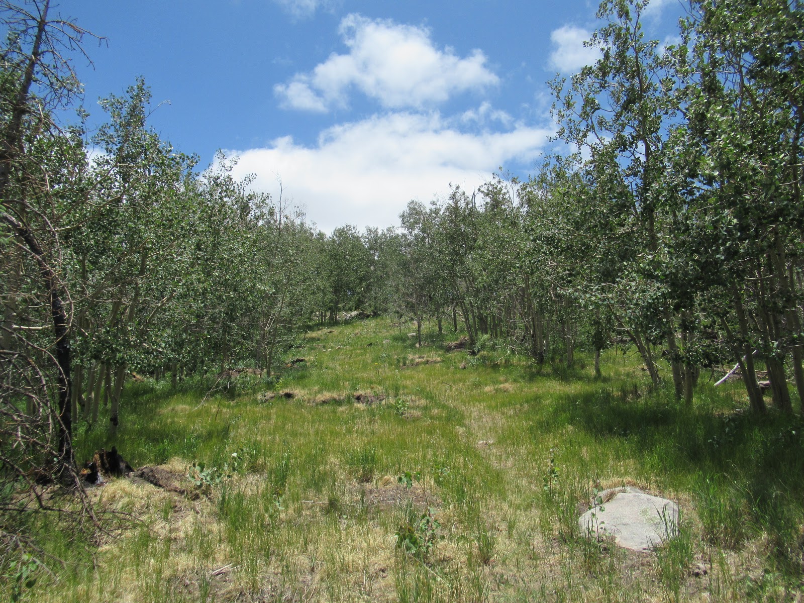
For my MG activation, I took the trail. There was some fire damage evident from the 2017 Frye Fire, but overall it was in decent condition.

Towards the top, the trail does get steeper, and became somewhat vague - because it had only recently re-opened after the fire, there had not been a lot of use to keep it well-defined, but there wasn't much chance of getting lost.
There are commercial towers and a fire lookout on top, but the summit is fairly broad and has plenty of space to set up a SOTA station. Here is a 360 summit view video (split into two due to size limits):
It was a wonderful day, and some of the same Chasers who showed up in my log from that first SOTA activation in 2016 gave me contacts again in 2018, which was fun. And of course, first in my log was NU7Y! I did cross the 1,000 points level, and a couple of months later received this nice glass trophy to commemorate earning SOTA Mountain Goat.

Heliograph is in the Coronado National Forest, and is managed by the Safford Ranger District. I found them to be helpful when I called to confirm the status of the area - there are many fires in Arizona and they often result in closures, and sometimes information on the internet is not current.
Date First Activated by KR7RK: 16 July 2016
GPS Track Uploaded to SOTA Mapping Project Tracks Site: Yes
GPS Track Uploaded to SOTA Mapping Project Tracks Site: Yes
Approx Hiking Distance: 4.1 - 4.5 mi
Approx Elevation Gain: 1,000'
Summit Elevation: 10,022'
Summit Grid Square: DM52bp
Summit County: Graham
ITU Zone: 6
CQ Zone: 3


